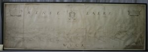
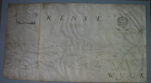
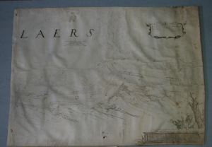
This early map represents the land along the Hudson River from Barren Island, just south of Coeymans to the mouth of the Mohawk River. The map is commonly ascribed to Gillis van Schendle. The map was mounted for the 400 year celebration. More can be read at our blog Inside the Conservator’s Studio. To see more about object conservation at Spicer Art Conservation, click here.


